


")


Том 24, № 3 (2024)

Статьи
INVESTIGATION OF TIDAL AND SUBTIDAL VARIATIONS IN SEA LEVEL CLOSE TO THE SOUTHEASTERN COAST OF SAKHALIN ISLAND USING TWO-YEAR TIME SERIES
Аннотация
The results of the study of tidal and subtidal variations in sea level in the area of the southeastern coast of the Sakhalin Island and a series of atmospheric pressure and wind speed from the open website “Weather Schedule” are presented. Using spectral analysis, astronomical tides were studied and diurnal M1, K1 and semi-diurnal M2, S2 tidal harmonics with high energy were detected. The maximum heights of tidal waves have been determined and the tidal regime in the studied water area is classified as mixed with a predominance of diurnal tides. It is shown that sea level rises due to the impact of winds on the sea surface are observed in the northerly direction of the winds, which is associated with storm surge in the coastal zone of Mordvinov Bay. The lowering of the sea level is observed with southerly winds and it is caused by the downsurge. The magnitude of the decrease in sea level for events that have a correlation between high wind speeds and the duration of influence to the winds of the western directions is maximal, and the wind speed has less influence on the magnitude of the decrease in level than its duration. Calculations of the level response to changes in atmospheric pressure using the Proudman equation and analysis of the results showed that these events can be attributed to the phenomenon of the “inverted barometer”. A comparison of theoretical profiles calculated from the time form of the Korteweg–de Vries equation with the registered profiles of sea level showed that they are well described by the profile of a solitary wave.
 ES3001


ПРИРОДА ГРАВИТАЦИОННЫХ МИНИМУМОВ ЮЖНЕЕ ХРЕБТА 85∘ В. Д. (ЦЕНТРАЛЬНАЯ КОТЛОВИНА ИНДИЙСКОГО ОКЕАНА)
Аннотация
ES3002
ВЛАЖНОСТЬ И СОДЕРЖАНИЕ СВИНЦА В ДОННЫХ ОСАДКАХ ГДАНЬСКОЙ ВПАДИНЫ (ЮВ БАЛТИКА) ПО ДАННЫМ ПОРТАТИВНОГО РЕНТГЕНО-ФЛУОРЕСЦЕНТНОГО АНАЛИЗАТОРА OLYMPUS VANTA C
Аннотация
ES3003
WAVEFORM OF THE REFLECTED IMPULSE AT THE OBLIQUE SOUNDING OF THE SEA SURFACE
Аннотация
The height of sea waves is one of the most important characteristics describing the wave climate of the ocean. At the present, the main radar for remote measurement of wave heights is an altimeter. Measurements are performed at the vertical sounding (incidence angle equal to zero). The Brown model was developed to describe the waveform of the reflected impulse at the vertical sounding. There is no theoretical model for the case of oblique sounding. In the Kirchhoff approximation, the theoretical task about waveform of the reflected impulse at oblique sounding was considered. In the result of the investigation, the analytical formula for the waveform of the reflected impulse for oblique sounding at the small incidence angles (< 12◦) for a microwave radar with a narrow antenna beam was obtained. The waveform of the reflected impulse depends on the width of antenna beam, incidence angle, impulse duration, significant wave height (SWH), altitude of the radar, mean square slopes of large-scale, in comparison with radar wavelength, sea waves. It is shown that possibility exist to retrieve SWH using waveform the reflected impulse at the oblique sounding.
ES3004
MICROPLASTICS IN RUSSIAN FRESHWATER SYSTEMS: A REVIEW
Аннотация
The global production of polymers and accumulation of waste has resulted in the worldwide problem of environment contamination by plastic debris. Microplastic (MP) particles (<5 mm) have been found almost everywhere. Despite the significant number of publications devoted to the microplastic contamination in freshwater and marine environments, Russia is a major gap in the review articles about worldwide freshwater systems. The article provides the summary of studies focused on MPs in both water samples and bottom sediments from Russian rivers and lakes. Information on microplastic concentration, methods, investigated particle size, morphological characteristics and polymer type are collected in tabular format. The map of the MP distribution in Russian freshwater systems are presented. The concentration of microplastics in freshwater system is highly variable in both water and bottom sediments. For the most studied particle size 0.3–5 mm in aquatic environments, the minimum content was obtained in the N. Dvina River (0.004–0.01 items/m3), while the maximum was in the Ob River (26.5–114 items/m3). The highest MP concentration (4000–26,000 items/m3) in water samples was estimated in the Altai lakes (Western Siberia) for particle size 10–960 nm. The minimum MP abundance (14 items/kg dry weight (DW) for 0.06–5 mm size particles) was estimated in Ladoga bottom sediments, the maximum content (52,107 items/kg DW for 0.174–5 mm size particles) was found in Kondopoga Bay in Lake Onego.
ES3005
ГЛУБИННОЕ СТРОЕНИЕ СРЕДНЕГО УРАЛА ПО ГРАВИТАЦИОННЫМ И МАГНИТНЫМ ДАННЫМ
Аннотация
ES3006
INTEGRATED ANALYSIS BY GEOPHYSICAL AND SPATIAL DATA TO IDENTIFY THE FORMATION OF KEPUHLEGUNDI HOT SPRING ON BAWEAN ISLAND
Аннотация
Bawean Island is a result of volcanic activity in the back-arc volcanism zone located on the north side of Java Island. Bawean Island was formed due to the geological structure being controlled by the Paleogene-Neogene tectonic line in the Meratus Pattern. The mantle tearing resulted in the formation of the Bawean Arc. The Kepuhlegundi Hot Spring is a component of the volcanism product on Bawean Island. To analyze the formation of hot springs in more detail, we conducted magnetic method measurements and integrated the data with gravity satellite and Fault Fracture Density (FFD) methods. The three methods were used to determine the continuity of the mapped geological structures surrounding the hot springs. The FFD method can be used to map the weak zone of the hot spring, which is caused by the lineament surrounding it. The magnetic and gravity methods reveal anomalous contrasts that extend towards the hot springs in the direction of the structure. The magnetic and gravity methods reveal anomalous contrasts that extend towards the hot springs in the direction of the structure. Based on regional anomaly analysis, spectrum analysis indicates that the structure is located at a shallow depth of 15 to 80 meters. The drawing in each method shows a dominant orientation in the Northeast-Southwest direction, which corresponds to the orientation of the Meratus Structure Pattern. Kepuhlegundi Hot Spring is formed due to the control of geological structures, allowing hot fluids to flow through fractures as an aquifer.
ES3007
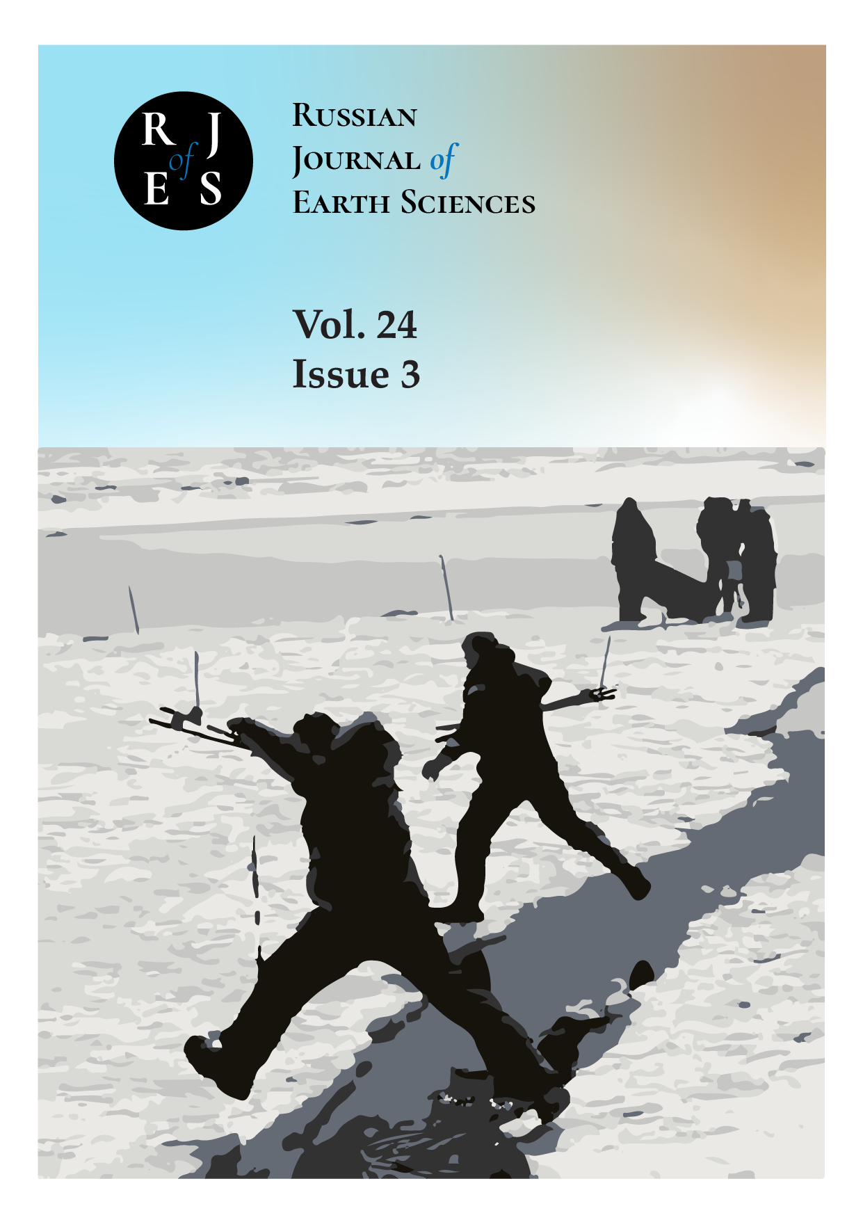
EXPRESS METHOD OF FIELD MEASUREMENTS TO CREATE A THREE-DIMENSIONAL MODEL OF AN ICE FORMATIONS
Аннотация
This article describes a new, efficient, and quick method for conducting field measurements to create a three-dimensional model of ice formations. The method involves the use of a total station geodetic instrument, a powerful LOZA georadar, and an unmanned aerial vehicle with a camera. The technique is especially useful for measuring unstable ice formations with horizontal dimensions ranging from 50 to 300 meters. Examples of applying this method during winter fieldwork on the Sakhalin Island's eastern shelf in 2019 are provided.
ES3008
ИНФОРМАТИВНОСТЬ ГЕОМОРФОЛОГИЧЕСКИХ И ИЗОТОПНО-ГЕОХИМИЧЕСКИХ МЕТОДОВ ПРИ ОЦЕНКЕ ГАЗОНОСНОСТИ ТЕРРИТОРИИ (НА ПРИМЕРЕ АНГАРО-ЛЕНСКОЙ НЕФТЕГАЗОНОСНОЙ ОБЛАСТИ)
Аннотация
ES3009
РЕГИОНАЛЬНЫЙ ДИСТАНЦИОННЫЙ АНАЛИЗ РАЗЛОМНОЙ ТЕКТОНИКИ КОЛЬСКОГО ПОЛУОСТРОВА И ЕЁ РОЛИ В РУДООБРАЗОВАНИИ
Аннотация
ES3010
АНАЛИТИЧЕСКАЯ МОДЕЛЬ МАЛЫХ КОЛЕБАНИЙ СЖИМАЕМОЙ МАГМЫ С РЕОЛОГИЕЙ МАКСВЕЛЛА В ПИТАЮЩЕЙ СИСТЕМЕ ВУЛКАНА. ЧАСТЬ 2. ОСЦИЛЛЯЦИИ ВЕРТИКАЛЬНОЙ СКОРОСТИ
Аннотация
ES3011
ФУНКЦИОНАЛЬНОЕ ЗОНИРОВАНИЕ УРБАНИЗИРОВАННЫХ ТЕРРИТОРИЙ СЕВЕРО-ВОСТОЧНОГО КАВКАЗА ДЛЯ РЕКРЕАЦИОННЫХ ЦЕЛЕЙ
Аннотация
ES3012